MENU


With 20 years experience, we are recognised for our expertise in delivering advanced services in GIS technologies to help improve the mapping capabilities of organisations. While our core focus is local government, our reach and experience spans over 2,000 customers in a breadth of other sectors.
Our services are often unique to each client, so to help you understand the type of work we do, we have categorised our services into five key areas:
Example projects:
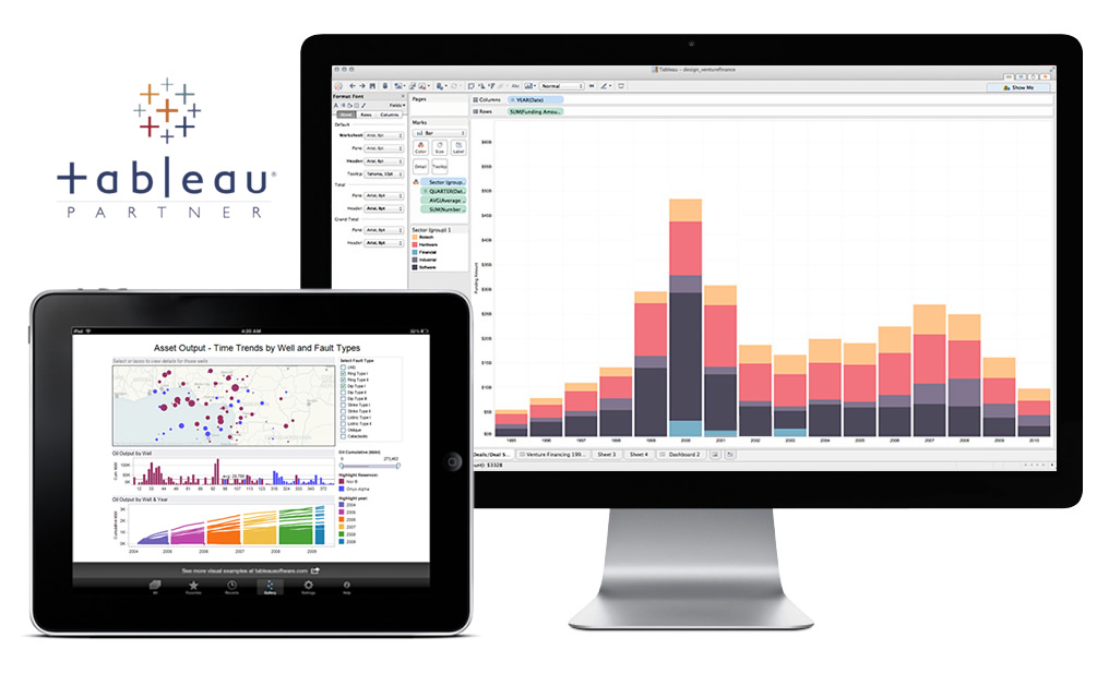
Data does not always lead to insight and information. Having a wide range of data sources and formats without an ability to integrate data and visualise trends means you do not capture the value of your data.
We help you transform your data to insight faster.
Tableau is the world’s leading visualisation and analytics platform. We have been a partner for a number of years and use it within our own projects as it has unparalleled data analysis, reporting and visualisation capabilities.
We provide projects, consultancy and training to help you leverage your data.
Our experience in the GIS market over the last 20 years has allowed us to become a leading supplier in this field. We manage all types of data, including spatial data, helping you to leverage the spatial analysis capabilities of Tableau to gain new insights into your organisation’s performance.
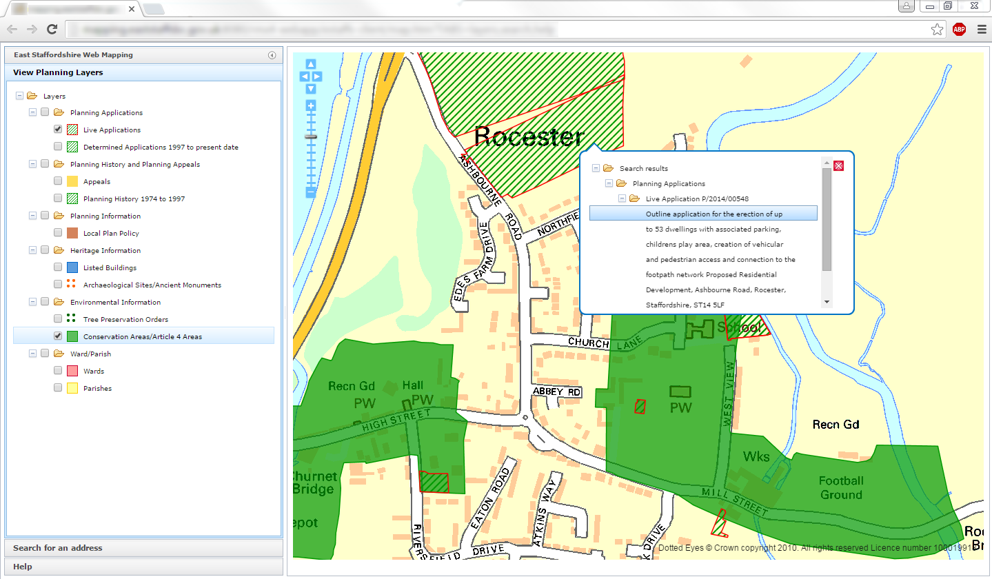
Integrating mapping technology into your business processes is difficult. There are lots of options available but often our clients have an application which would benefit from a mapping component, but buying a full scale GIS solution is either too costly or not the right fit.
We integrate mapping into your business applications.
Our experienced software development team provides a range of services which utilise the Open Source GIS stack; PostGIS, GeoServer, GeoWebcache and OpenLayers.
Our skills include JavaScript, Java and C#. We provide training and knowledge transfer, as well as design, build and deliver end-to-end applications.
Our team has developed many public facing and business critical applications and clients include Avon Cosmetics, BT, Serco and the Metropolitan Police. We can also act as a resource pool to bolster your own team’s capacity during periods of peak demand. We pride ourselves on delivering on time and to budget.
Example projects:

Example projects:
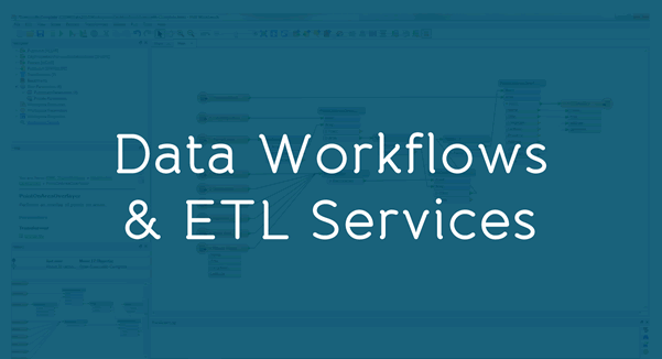
Keeping your data up to date and accurate is a constant challenge and can impact your ability to make sound decisions. With both internal and external data sources to manage, joining up feeds of data is time consuming and fraught with issues.
We provide workflow development services, training and integration expertise.
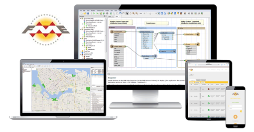
For over 20 years, we have worked with market leader, FME, to help our clients automate manual tasks – translating and transforming data between systems. We ensure that your systems run with the data they need, either as a batch process, on demand or live streaming service.
As a Platinum partner of Safe Software with over 250 clients, regular training courses and events, our team of consultants has enabled our customers to save thousands of man hours per year and provide a faster and better service.
Spatial data is big and complex. It’s needed to help drive your business but getting it to the point where you can use it is difficult and time consuming. You need the data ready to go and optimised for your needs.
We deliver the data so that you can deliver the value.
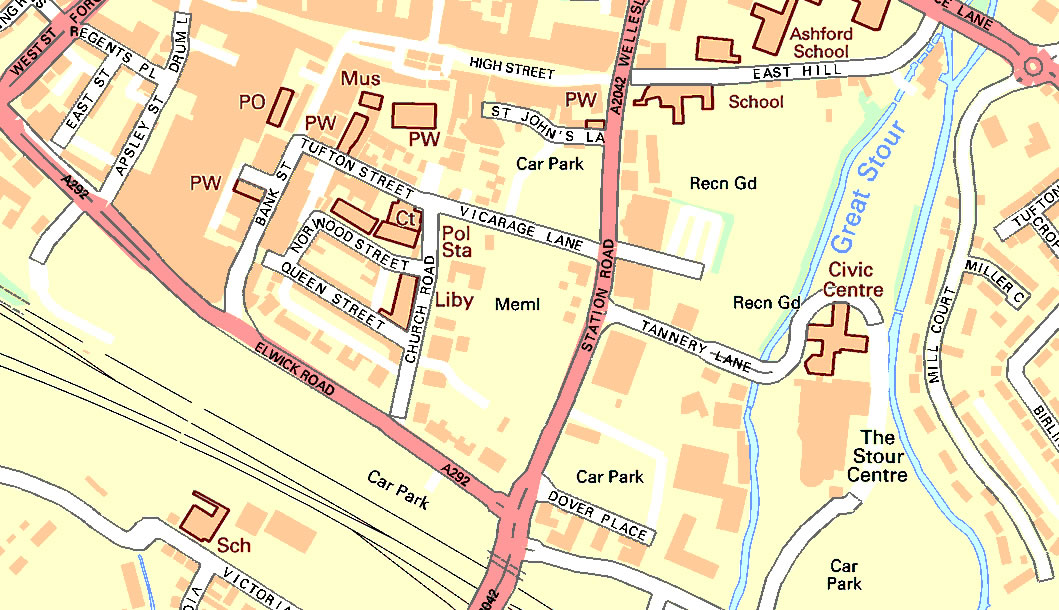
We supply OS reference data including MasterMap Topology, Addressing and Transport layers – we then optimise them for your particular needs. This may include clipping the data, optimising its performance, styling it to your needs and translating it into multiple formats such as .TAB, .SHP, .DWG as well as many other specialist formats.
Since the introduction of OS MasterMap, we have been delivering vector management technologies and services. This has provided us with unparalleled experience and capability in delivering the greatest value from MasterMap layers.
Example projects:
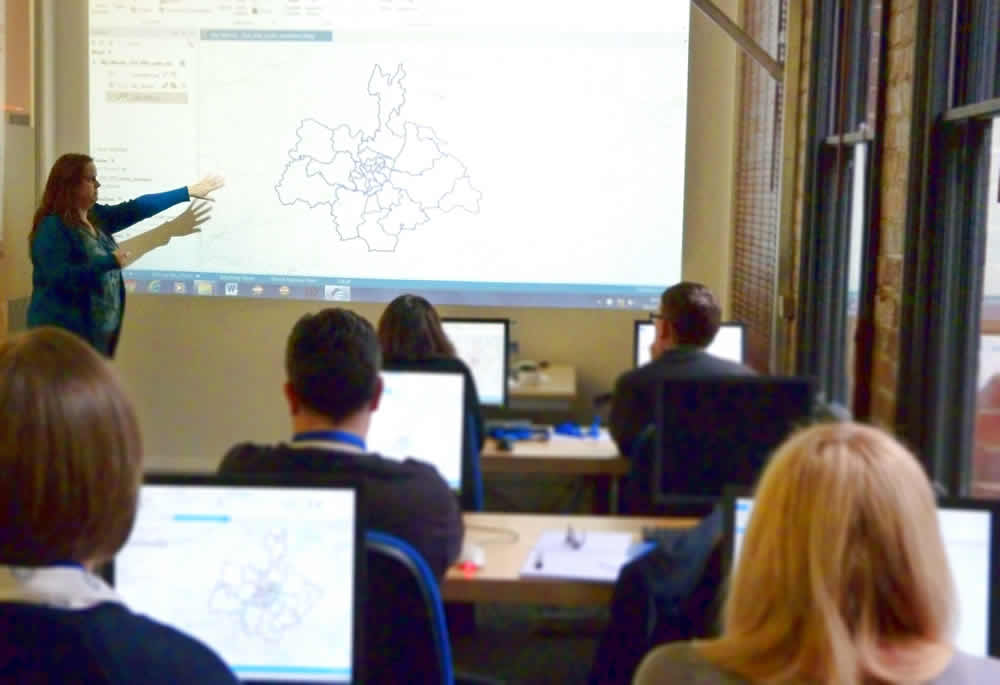
We have training and workshop options to cover a range of requirements. From IT managers who need to implement projects and want a sound understanding of the theory, through to technical training for the software you use.
We deliver training tailored to your needs.
We can work with your data and business rules to deliver training in context, or we can use our proven experience to teach you from our standard content.
Scheduled Courses
|
Courses on Request
|
Where the training takes place is up to you. We can come to your offices and work with you directly. Or if you prefer to step out of your environment and away from its distractions, you can come to our dedicated training facilities at our head office. The choice is yours.

Our company is full of passionate people, working hard, playing hard and delivering great work. We have a great entrepreneurial culture that is driven by a set of values that we live and breathe:
We are a fast growing organisation and are always on the lookout for great people. So if you want to join a team where you get to drive innovation and make a difference, then contact us.
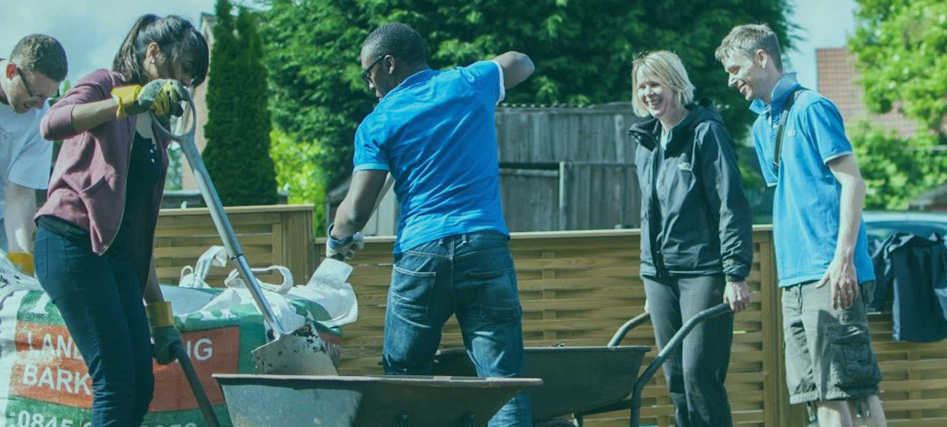
We are fortunate to have great jobs. So, as part of our philosophy, we want to give something back. That’s why, as well as our day to day activities, we carry out projects that benefit the local community. In recent years, we have helped local schools by taking time out to contribute to their environment.
IT projects are an expensive outlay for any business. But they are even more expensive if they go wrong. With…
Actionable Insight. Valuable Techniques. Key Learnings for Business Owners & Leaders of Change. IT projects are an expensive outlay…
2016 has been an exciting year for us! We’ve been introducing new services, we’ve refurbished our office and we’ve had…
This week, Dotted Eyes and miso announced they have officially split into two separate trading companies following an evolution of…
This week we held a catch-up breakfast for some of our Tableau customers so they could share their projects and…
It is difficult to balance a shrinking budget whilst keeping your staff and customers happy. Owing to resource cuts, waste…
Our clients always need to complete more appointments in less time. Although scheduling systems are designed to increase efficiency they…